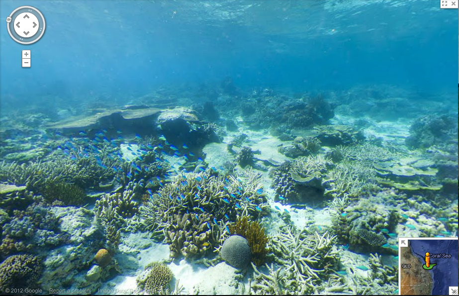
If you’re one of those people who uses Google street view as a quick escape during the work day (and if you’re not, you should try it), you can now add the ocean floor to your repertoire of virtual vacations. Google has partnered with the Catlin Seaview Survey, which operates a 360-degree underwater camera, to bring you crisp panoramic images of the ocean floor.

Grist State of Emergency | A limited-run newsletter from Grist, exploring the ways climate disasters are reshaping elections. Delivered every Tuesday until Election Day.

Reader support helps sustain our work. Donate today to keep our climate news free.

Here’s the Great Barrier Reef near Heron Island:

[googlemaps https://maps.google.com/maps?cbll=-23.442896,151.906584&layer=c&panoid=CWskcsTEZBNXaD8gG-zATA&cbp=13,332.33,,0,11.68&ie=UTF8&ll=-23.442896,151.906584&spn=87.872293,162.070313&t=h&z=3&source=embed&output=svembed&w=425&h=350]

Grist thanks its sponsors. Become one.

And Molokini Crater in Hawaii:

[googlemaps https://maps.google.com/maps?hl=en-US&sll=20.631745,-156.495507&layer=c&cid=7413646003444223722&panoid=giEWSvNTE17_TlxxtfCeBQ&cbp=13,34.15,,0,3.12&gl=US&t=m&cbll=20.634999,-156.49741&ie=UTF8&hq=&hnear=&ll=20.634999,-156.49741&spn=0.011577,0.018797&source=embed&output=svembed&w=425&h=350]


Grist thanks its sponsors. Become one.

You can also visit the Great Barrier Reef at Lady Elliott Island and Wilson Island; Apo Island in the Philippines; and Hawaii’s Hanauma Bay. So, you know, good luck getting any work done today.