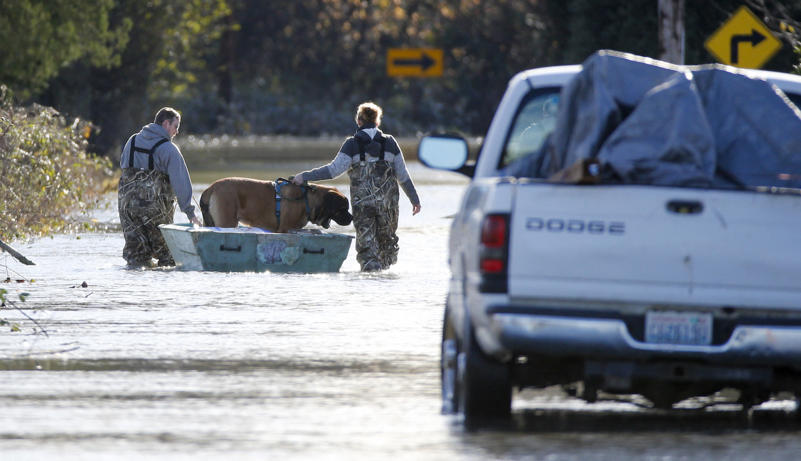
Devastating floods ripped through British Columbia and Western Washington this week, forcing thousands to evacuate their homes and cutting off Vancouver, Canada’s third-largest city, from the rest of the mainland.
As rain poured down on the region, highways were submerged or broken in half by the rising deluge. All 7,000 residents of the town of Merritt, British Columbia, were forced to evacuate due to a complete failure of the city’s wastewater treatment plant. Farmers in Abbotsford rescued stranded cattle via jet-ski. According to one meteorologist, some areas of B.C. received as much rainfall in 24 to 36 hours as would normally fall during the entire month of November. Across the border in Washington state, the town of Sumas reported that 75 percent of homes were damaged by water, and a mudslide shut down Interstate 5.
Many were quick to link the deluge to climate change. “I’ve been at this dais over the past two years now talking about challenging times we have faced,” said John Horgan, the premier of British Columbia, in a speech on Wednesday declaring a state of emergency in the province. “For those who understand and recognize that these events are increasing in regularity because of the effects of human-caused climate change, there is hope.”
Washington State Governor Jay Inslee similarly declared a state of emergency in 14 counties. “We have to realize that we’re going to face decades of increased floods in our state of Washington,” he said at a press conference on Wednesday.
The connection between the flooding and global warming is not clear-cut — but then, links between climate change and disaster rarely are. The immediate cause of the floods was an atmospheric river, a thick band of air that transports huge amounts of moisture north from the tropics. Earlier this week, some areas of British Columbia witnessed almost 8 inches of rain in a single day.
Scientists aren’t yet certain exactly how atmospheric rivers will change in a warming climate. According to a study published last month in Nature Climate Change, atmospheric rivers were stable between 1920 and 2005, despite rising temperatures; researchers found that aerosols from industrial pollution, which have a cooling effect, had counterbalanced warming. In the future, though, researchers predicted that precipitation from atmospheric rivers would increase.
Similarly, a NASA-led study in 2018 found that while the number of atmospheric rivers might decrease over the next 80 years, heavy rain and strong winds caused by these “rivers in the sky” could increase by up to 50 percent.
The atmospheric river isn’t the only factor at work in the destructive floods. The Pacific Northwest was pummeled this summer by baking heat and devastating wildfires. This type of “weather whiplash” — boiling heat and droughts, followed by intense rainfall — is exactly the type of pattern climate scientists have been expecting in the West under global warming.
Wildfires, meanwhile, can paradoxically cause more intense flooding, by burning up the top layer of vegetation and soil. Without that layer, water isn’t absorbed as easily into the soil, and rainfall can quickly turn into devastating mudslides. Foresters and environmentalists have also warned that clear-cut logging can intensify floods and mudslides by removing stabilizing vegetation and loosening soils.
The floods are yet another reminder of how even the seemingly mild climates can be devastated by warming temperatures — and how difficult it can be to prepare. In July 2019, a report by the government of British Columbia predicted that “extreme precipitation and landslide” could endanger cities by cutting them off from the rest of the province. They estimated that such an event could be “possible” in 2050, but was currently “unlikely.”
Like many climate disasters, this one came early.


