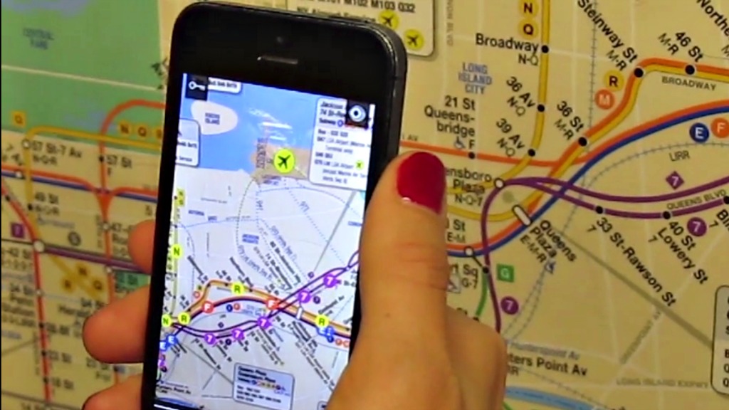
Subway maps aren’t exactly the most gripping thing to look at while killing time. But if you’re in New York, the free app Tunnel Vision wants to use data to make the minutes go by a little faster.
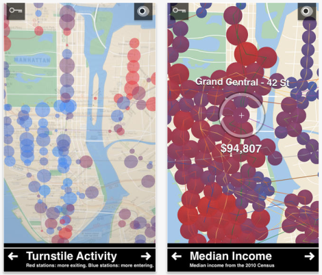
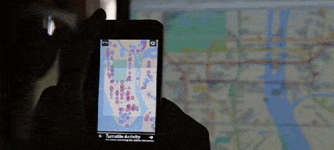
Point Tunnel Vision at any MTA map, and augmented reality gives you nuggets of info about arrival times, turnstile activity (!), and even census data like rent prices and median incomes in various neighborhoods. It doesn’t even need wifi to work. Here’s a quick overview:
With more than 8.5 million people riding the MTA on an average day, the app’s a lively jumble of moving dots and light-up circles. It definitely gives you a sense of how bustling the city is — much moreso than a static map or figure can.
The app is NYU student Bill Lindmeier’s graduate thesis for Tisch’s Interactive Telecommunications Program. As he told Gizmodo, “I wanted to create an interactive experience that could reveal some stories about the people and the neighborhoods that make up the city.” And in a city that big, there are a lot of stories to tell.

