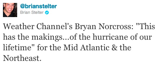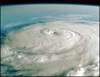
The U.S. National Oceanographic and Atmospheric Administration is predicting that hurricane Irene is going to strafe pretty much every inch of the most densely populated part of America, i.e. the East Coast.
So if you live anywhere from the Carolinas to Boston, is it time to panic? It would be, if panicking actually helped! Here’s what you can do instead.
First thing to understand is whether, and to what extent, your area is under threat.
Here's NOAA's official map of the projected storm track.
And here's a big map mashing up the NOAA predictions for the hurricane’s track with social media. Not sure what the social media is for, but it's a nice, detailed rendering of what's to come. First landfall Saturday morning (in North Carolina, potentially) and a hit to D.C. and then New York City Sunday morning.
Also, here’s NOAA’s interactive map to determine whether your area is at risk from a storm surge.
Meanwhile, Andy Revkin at the New York Times has a great post on what the current, more threatening track of the hurricane means. He includes a conversation with maestro meteorologist Jeff Masters published nowhere else. In "Shift in Track for Hurricane Irene Puts Millions at Risk," Revkin quotes an email dialogue with Masters:
Irene may make secondary landfall anywhere from New Jersey to Long Island and the southern New England coastline. In my opinion, New York City may be significantly impacted by Irene. It is also important to note that the windfield of Irene is expected to be large, affecting areas distant from the immediate track of Irene’s center.
Masters also says:
Irene is capable of inundating portions of the coast under 10 – 15 feet of water, to the highest storm surge depths ever recorded. I strongly recommend that all residents of the mid-Atlantic and New England coast familiarize themselves with their storm surge risk.
Translation: New York City could see a more or less direct hit. The last time this happened, in 1821, there was a storm surge more than 10 feet high that went inland as far as Canal street. If you live in NYC and don't know whether or not you're in a flood risk zone, find out here [PDF].
AccuWeather.com’s severe weather expert, Henry Margusity, is streaming information on Irene continuously on Twitter. His account of the impacts on cities on the East Coast is particularly helpful, and illustrates that for most of us the threat is flooding, not high winds. He notes:
The Computer model shows 10.53 inches of rain in NYC. I have never seen that much. Expect massive flooding.
As Heather Goldstone of Climatide puts it, Hurricane Irene is not a storm to play mind games with.
Revkin also points to this fictional news report, a promo for a book called “Category 7” as an example of the kind of things we could see on news reports later this week if Irene does hit NYC directly.
If NOAA's predictions are correct, the entire East Coast will get high winds and heavy rain. If NOAA's wrong, and the storm heads out to sea or does some other crazy thing, the worst that happens is you wasted some time preparing and you can party down with some granola bars.
So what do you do now?
NYC.gov has a helpful brochure on that subject. Highlights:
- Tie down anything not tied down (or bring it inside).
- Close and shutter your windows.
- Make sure you have the following on hand: Drinking water, nonperishable food (preferably stuff that doesn’t have to be cooked, if you have an electric stove), first aid supplies, flashlight, battery-powered radio, personal hygiene items, can opener.
- Pack a “go bag” in case of evacuation, including documents, keys, money, nonperishable food, medical information, and contact information.
- Make sure you have plans for where to go and what to do with your pets if you’re evacuated.


